
Virtual Earth (which later became Bing Maps) provides the most detailed and interesting 2D images available at this time.
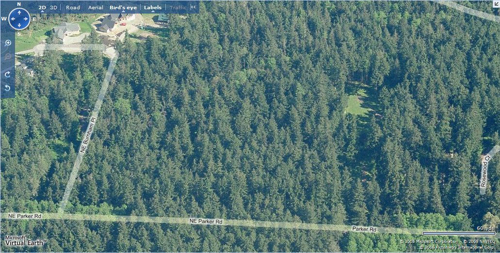
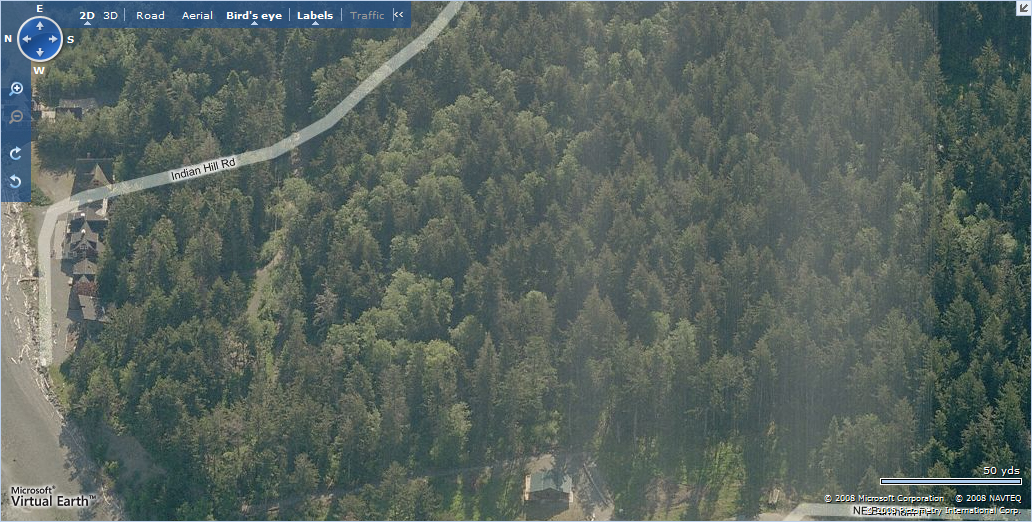
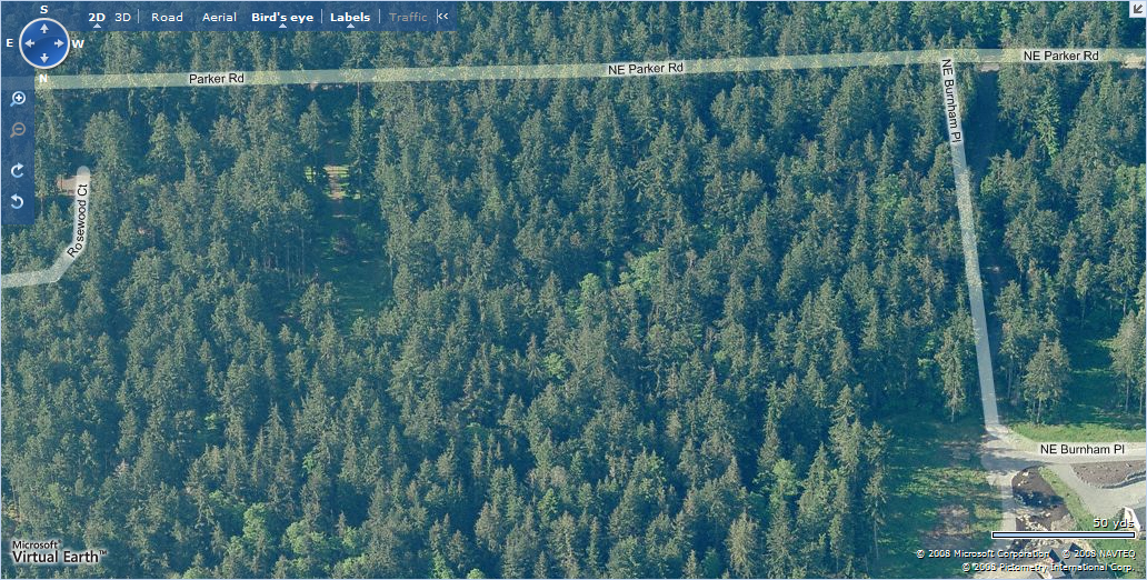
Virtual Earth’s special sauce is the “Bird’s Eye View”. Throughout all of Whidbey Island, any point can be viewed in 4 different directions (north, south, east, and west) while looking down at a 45 degree angle. The angular nature provides a great deal more depth than the standard look-from-above flat satellite imagery, and it frequently opens up little secrets that can only be seen from one angle but not from others (especially when around trees). The resolution / detail is also higher than most such services (the photos below are at the distant view setting; more detail is available to hone in on smaller areas). The Microsoft team is gradually ramping up its integration of the Bird’s Eye View with its other 2D and 3D services.
Looking north to south half of property
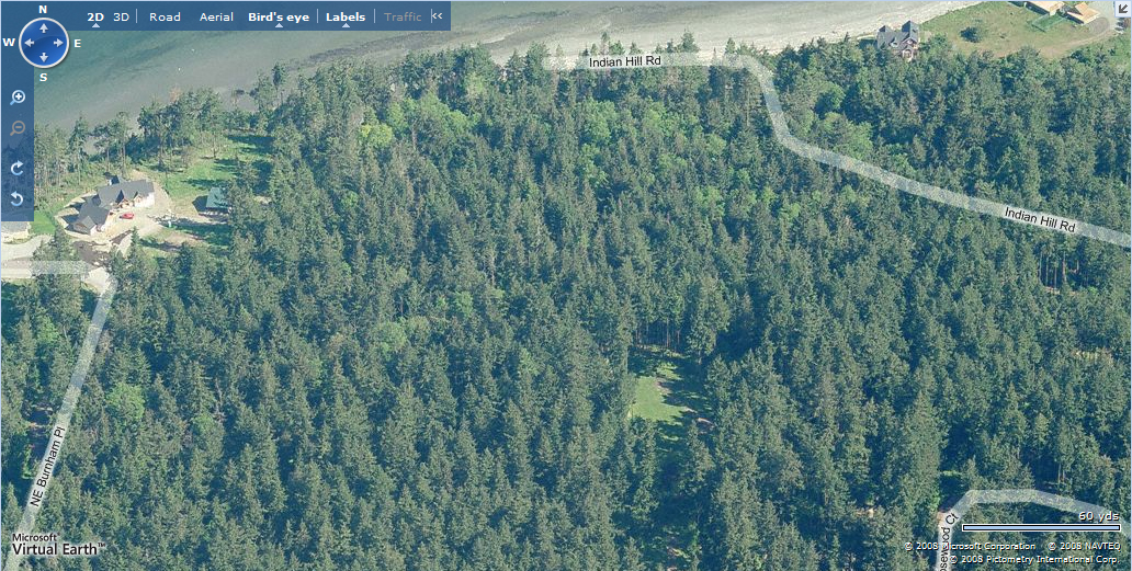
Looking north to north half of property
Looking east to north half of property

Looking east to south half of property
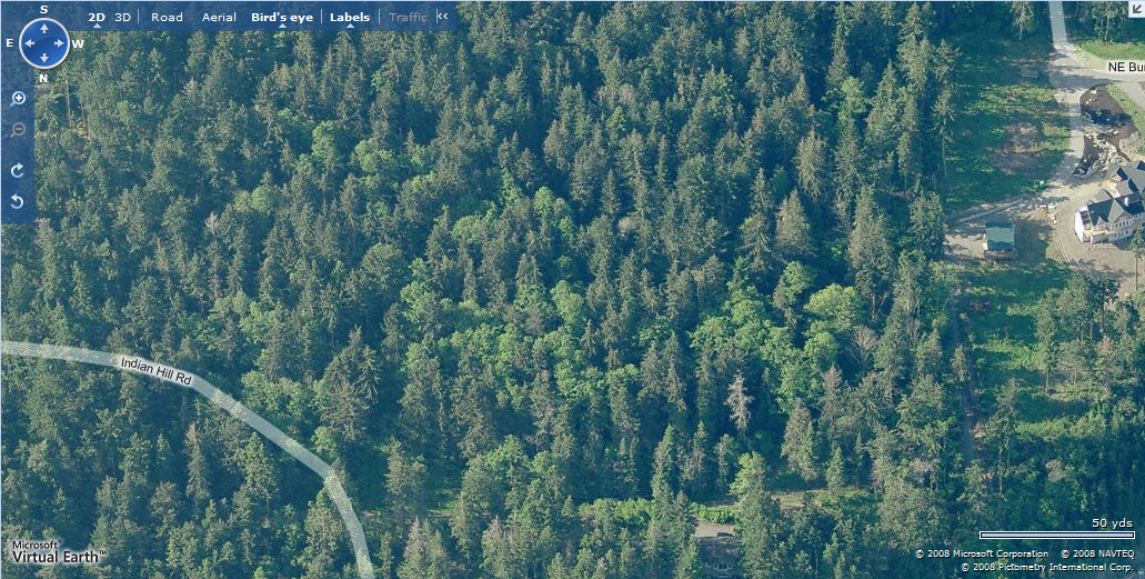
Looking south to north half of property
Looking south to south half of property

Looking west to north half of property

Looking west to south half of property
STAY INFORMED WITH OUR NEWSLETTER
SEARCH
CATEGORIES
ARCHIVES