
Contour maps can be helpful in planning site design, locating roads, being aware of slopes, and more. The helpful forester from the Washington Department of Natural Resources sent a copy of a contour map for my property and the surrounding area.
By using Google Earth and walking the property, I certainly already knew the “lay of the land”. But, it is good to see the elevation numbers in an easily referenced single map.
Essentially our property goes from an elevation of just over 200 feet and slopes down on the north side to about 80 feet elevation. That provides us with a nice view slope out over Penn Cove and to the mountains, while the south half of the property is very level forest land with easy access throughout.
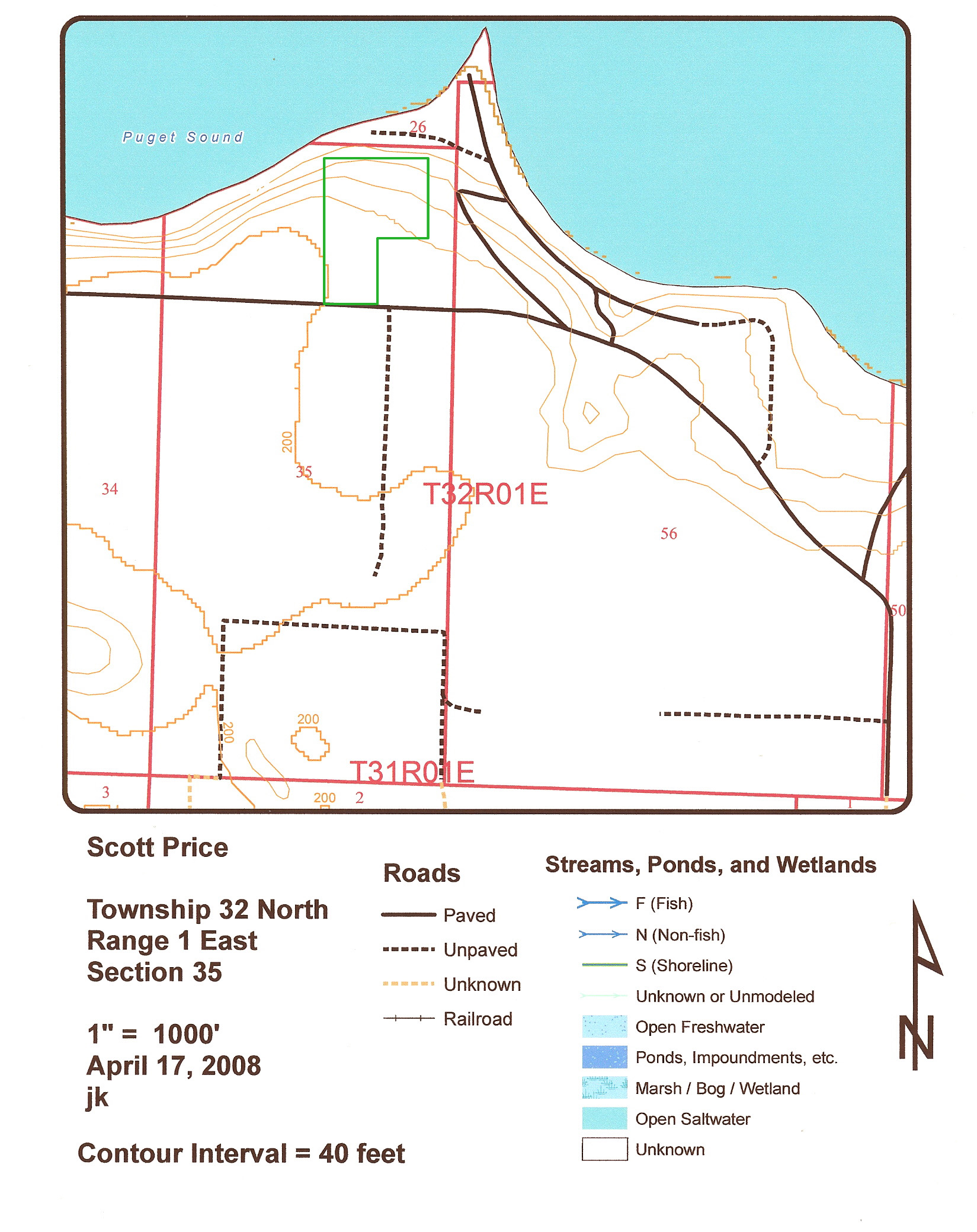
Topography contours map with approximate parcel lines in green
STAY INFORMED WITH OUR NEWSLETTER
SEARCH
CATEGORIES
ARCHIVES