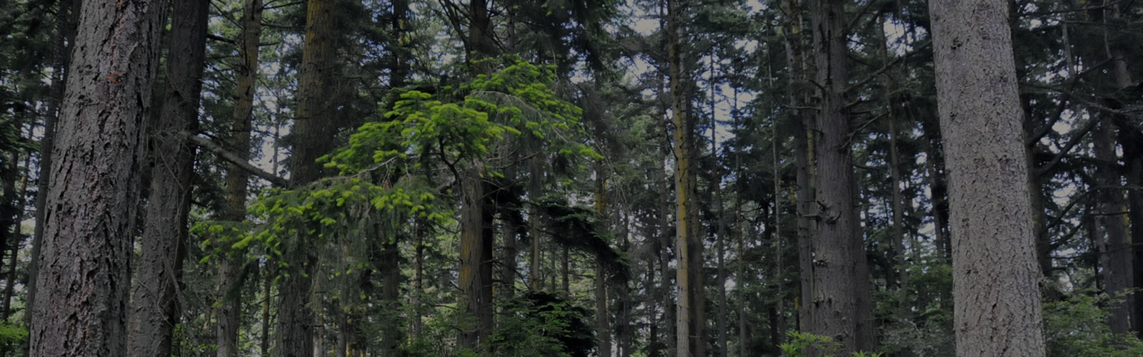
Soil is the tissue that holds an ecosystem together. Its characteristics determine the types of plants that exist on a property. When combined with water retention levels, compaction, depth of organic layers, and proximity of underlying hard layers, it all combines to form the underlying structure that affects all trees and plants above. This in turn affects the animals and insects that are adapted to survive there. So, it is all strongly intertwined.
Our surface soil is supposedly primarily comprised of two different classes:
- Casey fine sandy loam (southwest 2/3 of property)
- Hoypus gravelly loamy sand (northeast 1/3)
The boundary between the two soil types generally follows the elevation contours of the property near the edge where it transitions from level to sloping down to the northeast. So it appears that the upper plateau surface is different than the lower layers. There is a noticeable change in trees and understory vegetation between those two zones, although there also appear to be other causal factors such as past forest thinning practices and perhaps differences in ground water retention.
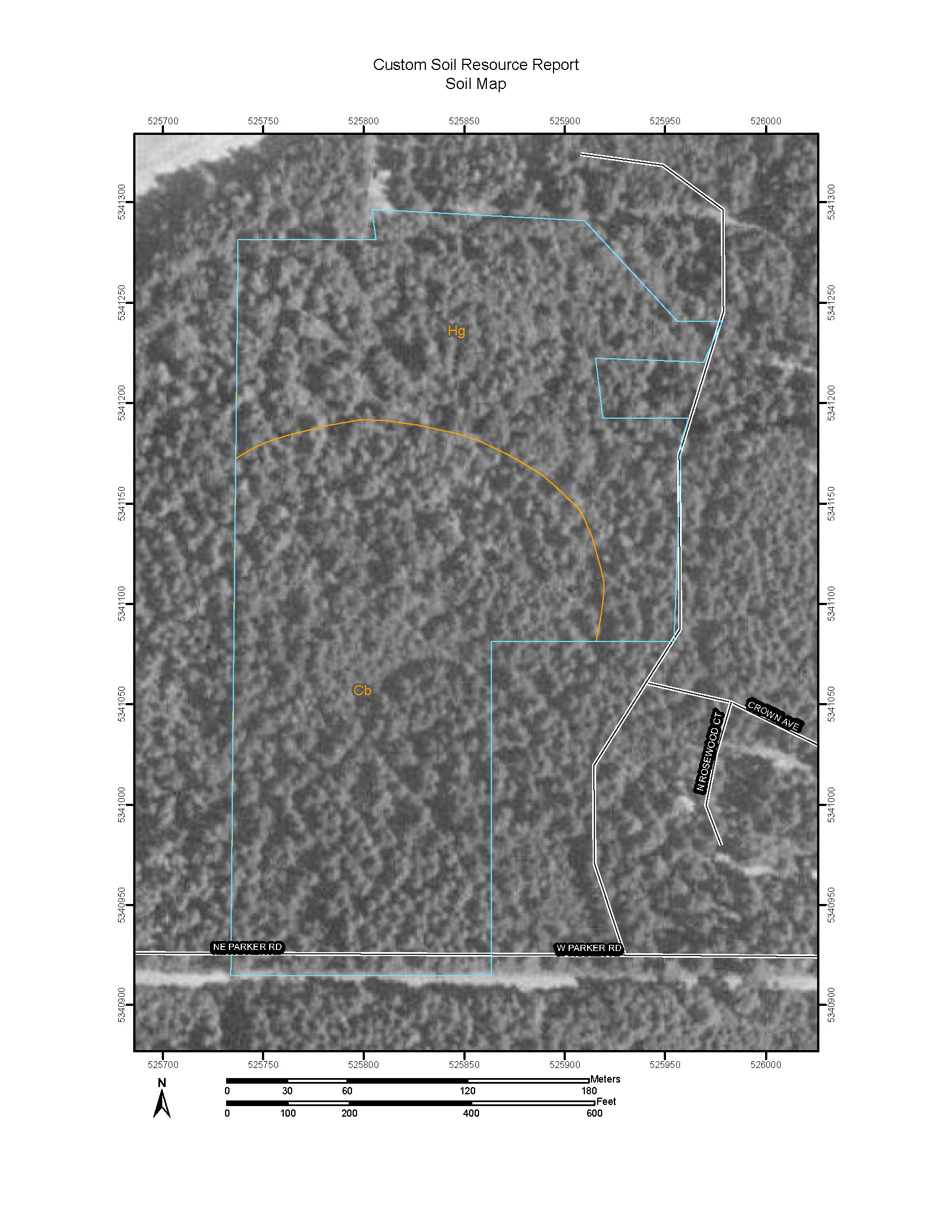
NRCS Soil Resource Report Soil Map
The National Resources Conservation Service (NRCS) offers an impressive online application that allows you to define a property boundary and create a customized report with detailed soil data specific to the property.
STAY INFORMED WITH OUR NEWSLETTER
SEARCH
CATEGORIES
ARCHIVES