OVERLAID SITE MAP INTO GOOGLE EARTH
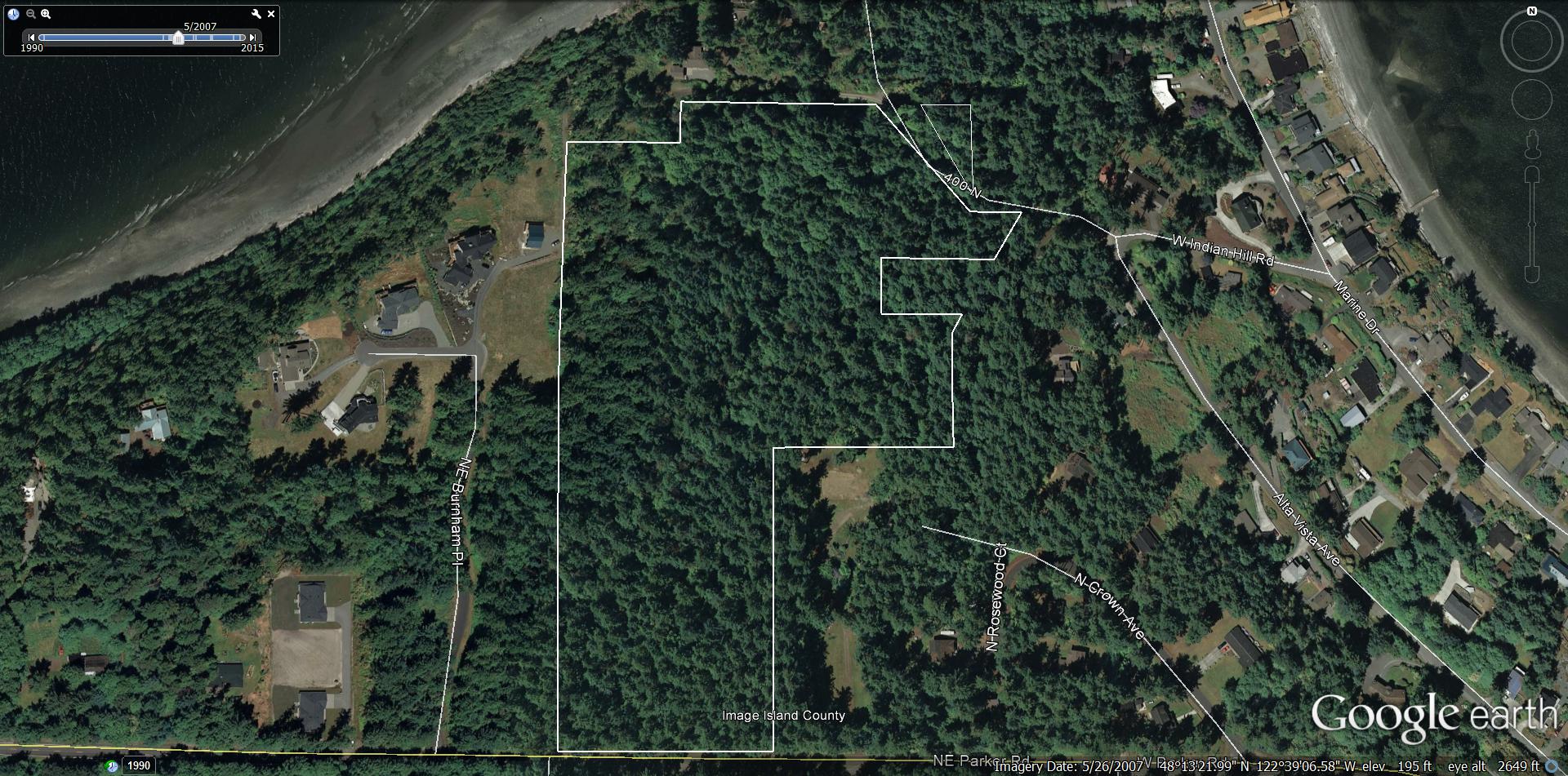
OVERLAID SITE MAP INTO GOOGLE EARTH
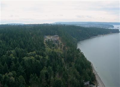
Google Earth is just plain cool. I am now able to overlay my site map directly into Google Earth via a personalized image overlay. By doing this I can view all of the site locations relative to everything around it and the underlying satellite photo landmarks. More importantly, I can tilt, pan, and...