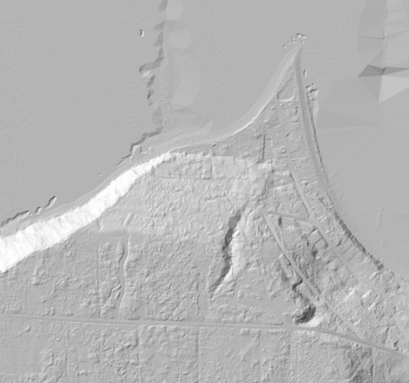
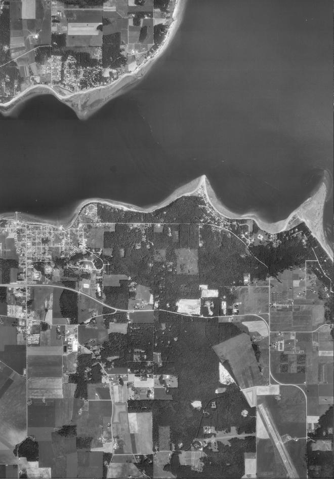
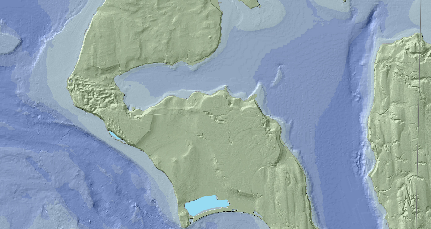
LIDAR IMAGES OF LONG POINT
LIDAR IMAGES OF LONG POINT
The Puget Sound LIDAR Consortium provides high resolution topographic data for land throughout Washington and especially the Puget Sound area. It is mostly of interest since it shows topographical...


