BASIC TOOLS OF THE FORESTRY TRADE
BASIC TOOLS OF THE FORESTRY TRADE
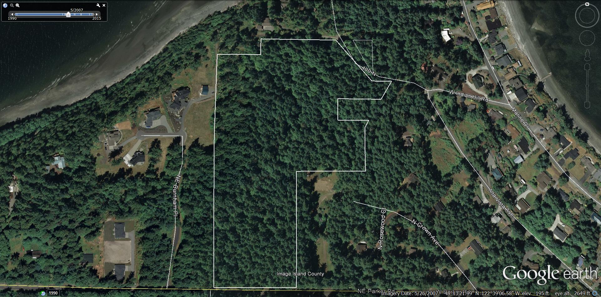
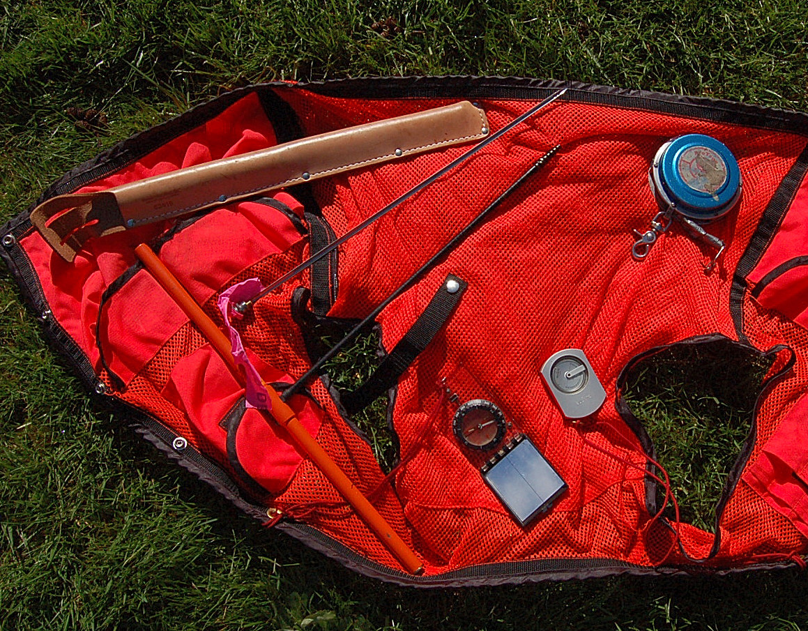
As part of two outdoors site visits, the Forest Stewardship Program lent everyone in the class a good set of basic forester tools to later use on our own land. Already packed into pockets of a fluorescent orange safety vest, the following tools were loaned out: