ISLAND COUNTY LIQUEFACTION SUSCEPTIBILITY MAP
ISLAND COUNTY LIQUEFACTION SUSCEPTIBILITY MAP
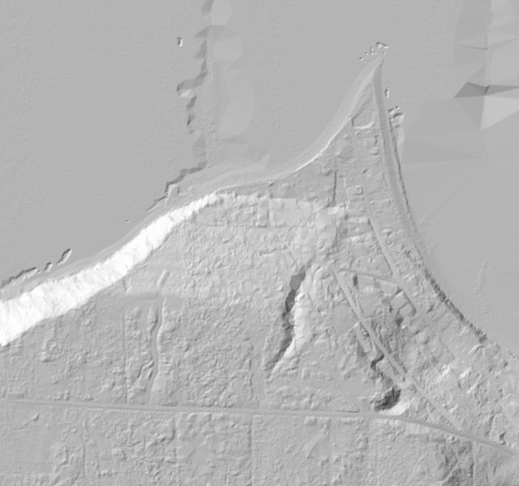
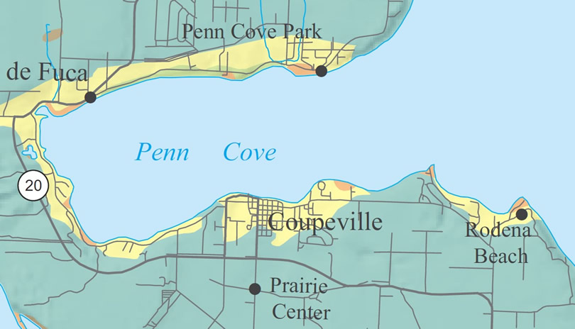
The Washington State Department of Natural Resources (DNR) has produced a fairly detailed map of soil liquefaction susceptibility across Island County....