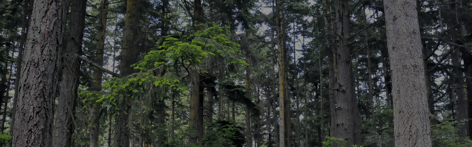
I found a 1990 black and white satellite view of our property on Terraserver, which show US Geological Survey imagery. Interesting to see how little development was in the area just 18 years ago. Fortunately our area above Long Point is still mostly forested, but certainly less so than in these pictures since more homes have come in. We are definitely the only large, contiguous forested parcel in the Long Point area now.
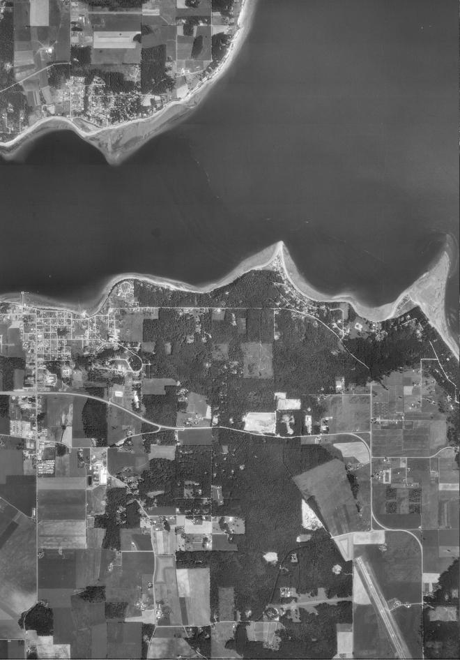
1990 Western Mapping Center aerial photo

2008 Google Earth view with property boundaries, for comparison