The Puget Sound LIDAR Consortium provides high resolution topographic data for land throughout Washington and especially the Puget Sound area.
It is mostly of interest since it shows topographical changes down to the finest detail I have yet seen anywhere. LIDAR can even show the minor topographical variations created by the old logging road that we are generally following for our proposed driveway, and the separate access for the neighbor’s well house (easement on our property) is very readily visible. Now that I know the exact location of the hillside curvatures plus existing logging road bed, I can further hone in for site design purposes when laying out building locations within the larger context of the 15 acres and talking with contractors.
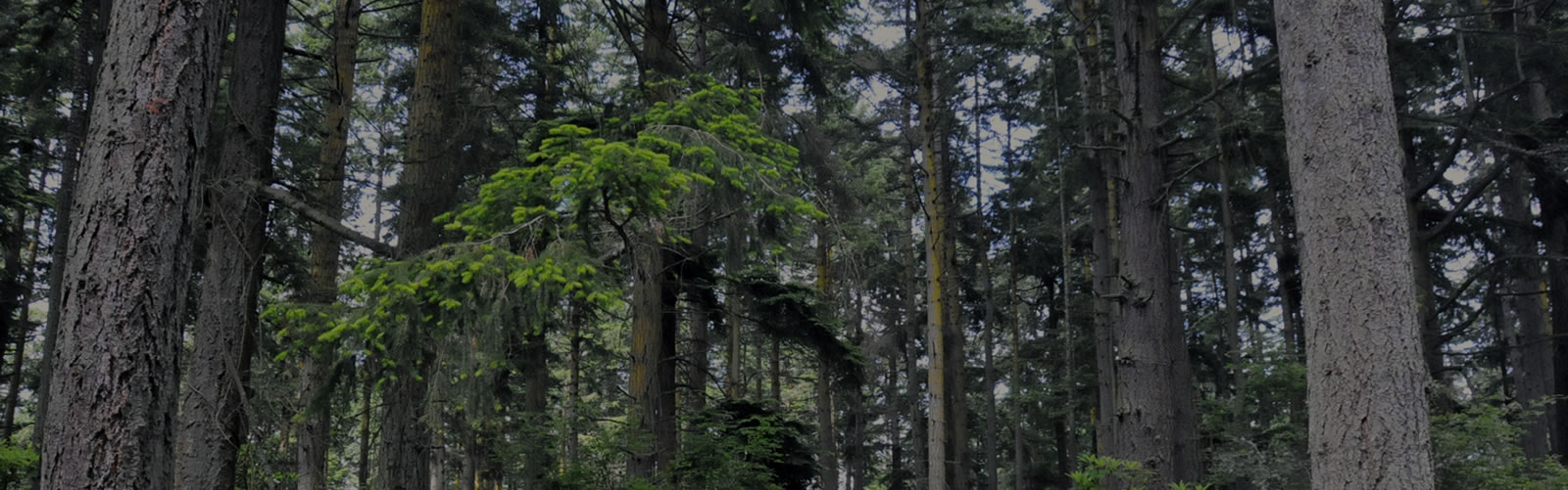
The bare earth view is of most use for its topographical detail, and the top surface view is just of general interest since it shows some of the individual largest trees on our property. Click on any image for a larger, more detailed view.

2005 and earlier top surface 6-foot grids hillshade
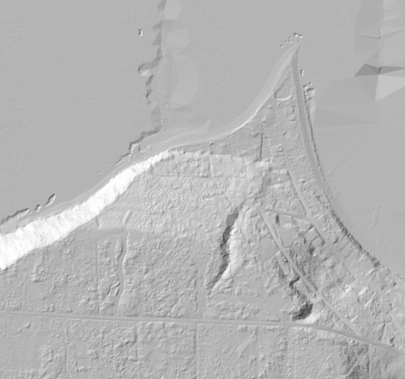
LIDAR bare earth view of property and Long Point

2008 Google Earth view with property boundaries, for comparison