
The Federal Emergency Management Agency (FEMA) has flood insurance maps for the entire country. Although most people think of flooding along rivers, the maps actually include large tidal bodies of water, lakes, and areas of potential water flooding from large storms or such.
Our property is elevated well above the coastal “flood plain”, but it is close enough that our land can be see in the Long Point aerial view from their maps.
Key:
Zone AE: Base flood elevations determined.
EL 12: 12 foot high base flood elevation.
Solid blue line: Demarcation of where there is a 1% annual chance of flooding.
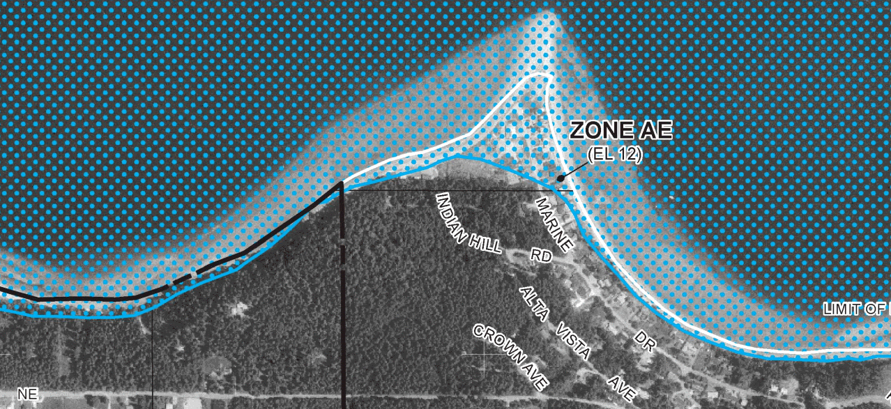
FEMA flood insurance map of Long Point