
The detail available from free online satellite imagery is getting progressively more amazing. Google Earth (www.google.com/earth) first raised the bar with its integration of aerial photography onto 3D topographic representations for anywhere in the world. Then Microsoft’s Virtual Earth (www.bing.com/maps) went in a different direction with 2D high resolution “Birds Eye” pictures of many locations taken from north, south, east, and west views looking down at a 45 degree angle. Other options are out there as well, but these two are currently the best and most useful for property analysis. There is now even a mashup website called Zoom Earth (https://zoom.earth) that combines satellite imagery from multiple sites; for the same location you can quickly jump from one source of satellite photo to the next by a quick click.
Google Earth enables the creation of polygon shapes which can be directly overlaid onto the topography of the 3D land. I referenced a number of different data sources (county info, plat maps, MLS aerial images) and hand drew the outline of our parcel into Google Earth. Since our parcel is far from a simple rectangle, this took some doing. But, it has since been a great resource for determining topography, relationships to surrounding parcels and forest, siting, view opportunities, and more. This parcel polygon can even be exported so that anyone with Google Earth installed on their computer can see our parcel superimposed in their own 3D application; you can zoom, rotate, and check potential views while knowing the parcel boundaries from all angles.
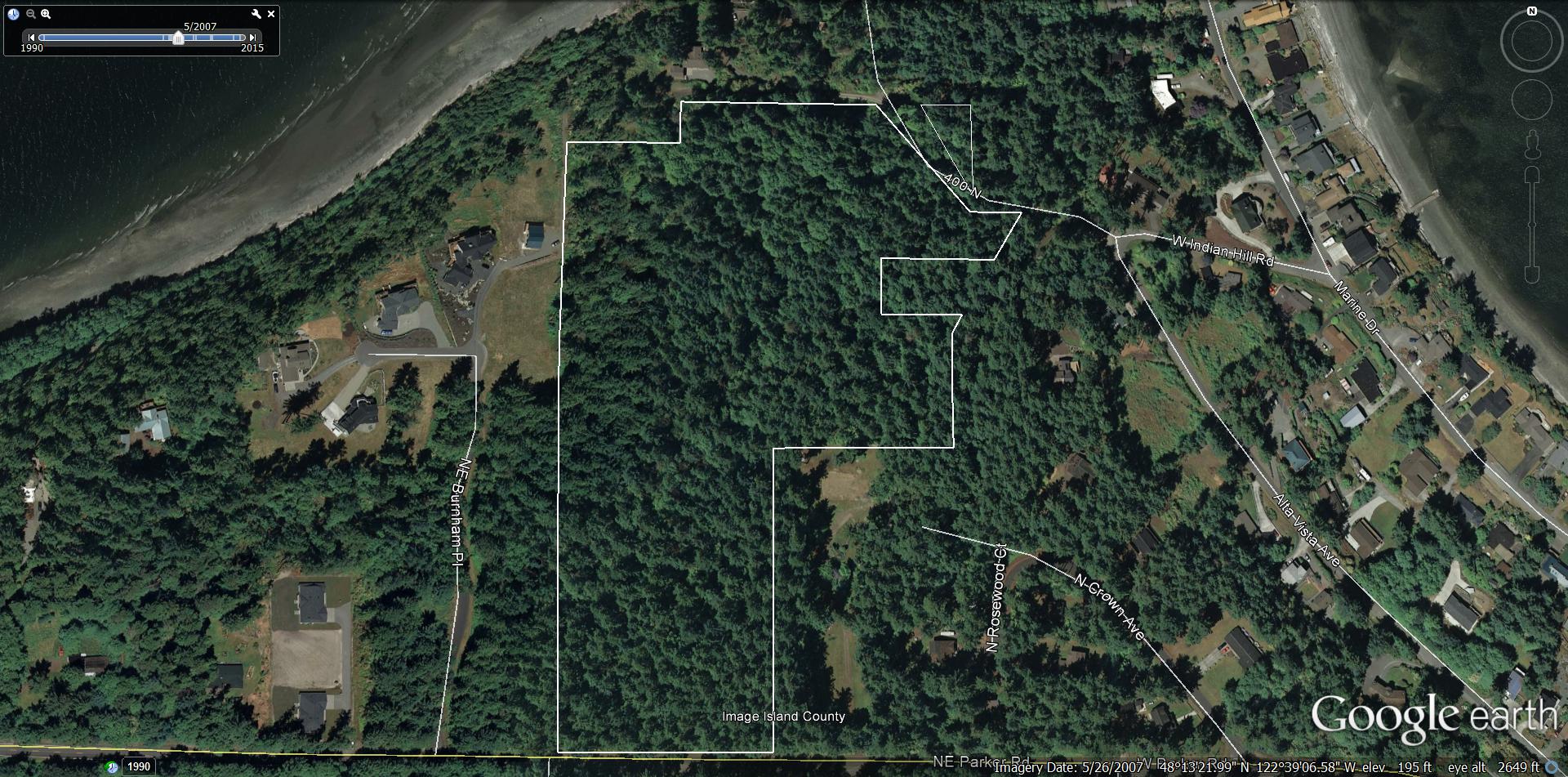
Google Earth satellite view