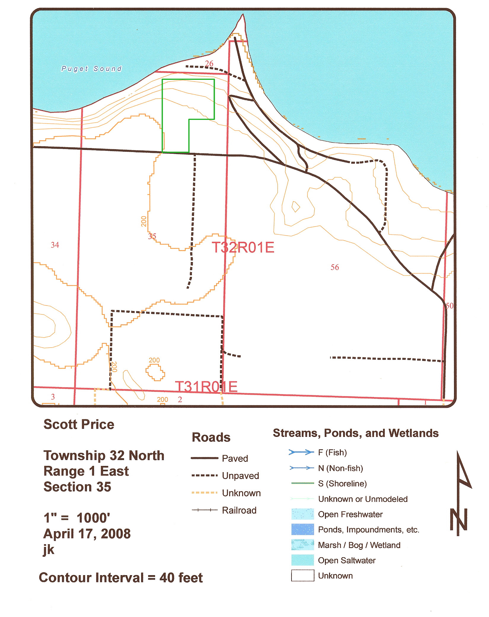
SOIL TYPES AND SOIL MAPS
SOIL TYPES AND SOIL MAPS
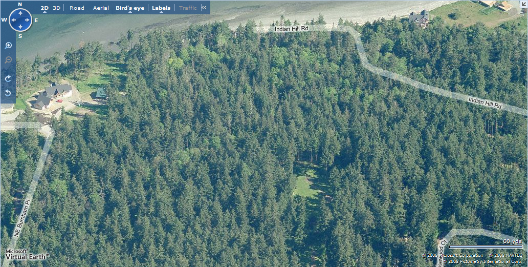
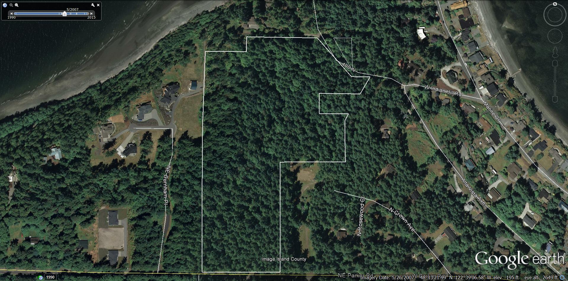
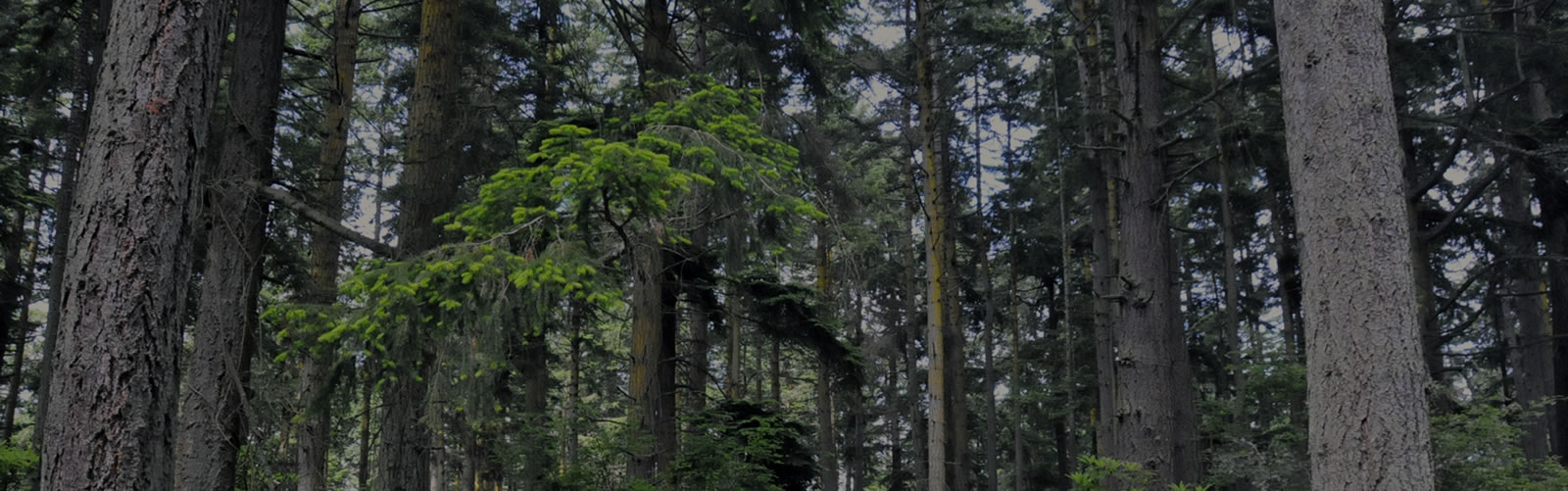
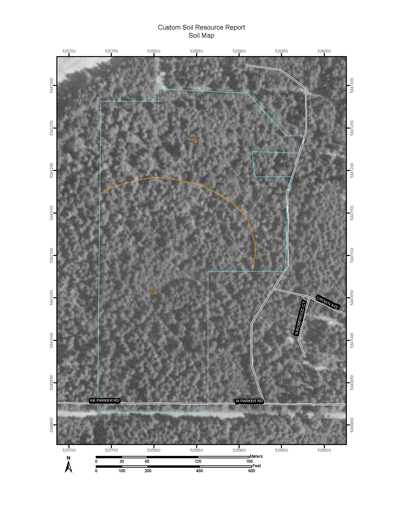
Soil is the tissue that holds an ecosystem together. Its characteristics determine the types of plants that exist on a property. When combined with water retention levels, compaction, depth of organic layers, and proximity of underlying hard layers, it all combines to form the underlying structure...